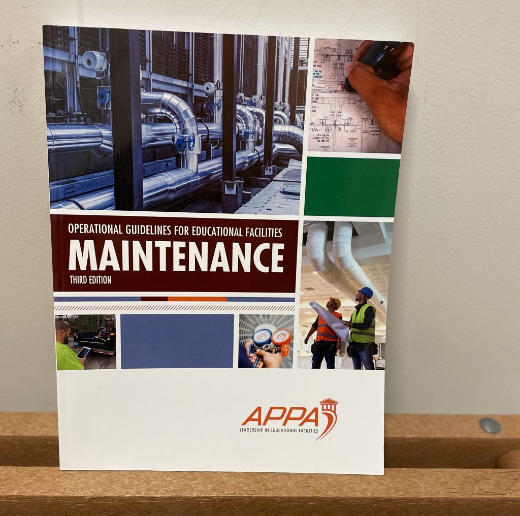
This past summer, APPA: Leadership in Facilities, the foremost and international higher education and K-12 facilities association, completed its updates and revision to the Operational Guidelines for Educational Facilities trilogy. The Trilogy is a set of manuals that encompass three topic areas within campus facilities: Custodial, Grounds, and Maintenance. These guidelines, adopted and adapted by hundreds of institutions, are now in their third edition (fourth edition for Custodial, first published in 1992).

“The APPA Operational Guidelines have stood the test of time,” said Steve Glazner, recently retired APPA director of knowledge management. “Institutions across the globe look to these guidelines as the way to conduct business in their facilities organizations.”
Being featured in one of these volumes, therefore, demonstrates that you are an exemplar to follow.
Featured prominently in Chapter 11: Facilities Information Systems of the Maintenance volume is Clarkson’s facilities team. Since 2015, Clarkson Facilities & Services (FAS) has revolutionized how to maintain the campuses of the institution through the use of Geographic Information Systems (GIS).
Facilities Director & former University Engineer Mike Tremper had a vision to deliberately “map” its campuses in GIS as a mechanism to improve operational functionality and have better asset visibility. Working with Professor of Practice & GIS Coordinator Bill Olsen, GISP, in the Department of Civil & Environmental Engineering to use engineering student interns (across multiple disciplines all at Clarkson), Engineering Technician James Eames, and Facilities GIS Technician Michelle McGill oversaw the mapping of every building, utility, and feature of the Clarkson campuses in Potsdam and, later, Schenectady, New York.
This allowed maintenance staff to have immediate access to all of this information whenever there was a need to troubleshoot, determine a future course of action, or simply make campus improvements. With every technician in the field having a tablet to work from for work orders and having access to this data, it’s been a game changer, saving time and money for the institution.
“In the first year alone, we cut overtime expenses by a third,” says Mr. Tremper. “Our ability to reduce key performance metrics like mean time to repair, reductions in our work order backlog, and cost per square foot for maintaining our space has enabled the institution to use those dollars to help better educate tomorrows leaders. All of this while enabling those same students as a core part of these improvements as the learn through doing.”
McGill, who maintains the GIS for FAS, highlighted that, “we now have a workflow where data comes in from one of our technicians out on our campuses, we can update the maps within the next day, and thus have a current status of how things are operating. I can answer questions in seconds that used to take days sifting through our paper based archives.”
This work continues as the Facilities staff is embarking on several new efforts to hone in on how to best spend its long term maintenance dollars as a part of its planned capital maintenance program.
Given these kinds of results, it was easy for primary chapter author, Professor of Practice and the Clarkson University, Howard E. Lechler Director of Construction Engineering Management, Erik Backus, to ensure Clarkson was featured so prominently for this work.
“Mike, Michelle, Jim, and the entire Clarkson FAS are the unsung heroes making sure the lights are on, the trash is picked up, and the landscapes of our campuses are looking beautiful every day,” said Backus. “Their willingness and success in embracing the use of GIS as a mechanism to set the global standard needed to be recognized and shown as an example for others to follow.”
It was also a phenomenal opportunity for young engineers to learn by doing as a part of the CEM and Architectural & Facilities Engineering education efforts.
“I learned so much by being a part of the FAS team doing the GIS work, and it has given me new opportunities I never was aware of before,” offered one intern.
“Students who’ve done this work have gone on to careers using GIS for public agencies and consulting companies throughout the United States,” commented Olsen. “This has been a win-win for everyone involved.”